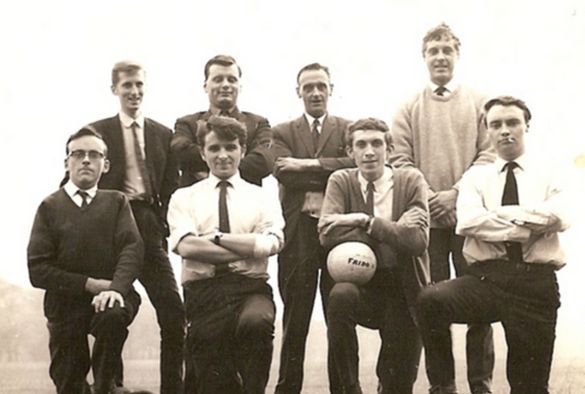
'The changing face of data collection' by Ed Neafcy

After reading alumnus Professor Jim Alty’s story about his role in the development of the postcode, fellow alumnus Ed Neafcy (BA 1964) was inspired to share his story of data collection from his time in the Liverpool City Planning Department.
“In the early 1960s Liverpool was in the forefront of the computerisation of census data and aggregation of findings. I started work at the Liverpool City Planning Department when the results of the 1961 Census of Population were beginning to come through. They were on computer punch cards – no screens in those days. The City’s computer was in Commerce House in Sir Thomas Street. It was in a room of its own with controlled conditions and guys in white overalls in charge.
There was a lot of change going on in Liverpool. We parked our cars on bomb-damaged sites that had been cleared but not yet redeveloped. Plans were being made for areas of substandard houses to be cleared and redeveloped. Through traffic was to be segregated from residential areas. Inner-city schools were to have more open space around them. Something called containers were going to wipe out the dockside cranes.
The demand for data was immense, and the need for smart analysis of data. At that point, the data was collected in geographical areas called census enumeration districts (EDs). The first work with the census data was by the Centre for Environmental Studies in London. This was followed by a US company called CACI (originally California Analysis Centre Inc) who acquired rights to work the census and gave it a commercial application.
CACI produced a breakdown of 38 types of area, with the acronym ACORN (A Classification of Residential Neighbourhoods). The people in each of these neighbourhoods had distinctive needs and consumption patterns for private sector marketing applications as well working out need for land for schools and houses. If a company had a number of shops in different areas, it could identify which neighbourhoods were best to invest in. New store development should therefore look for the identified neighbourhood in towns where expansion was sought.
When the postcode started to develop, it was obvious that postcode (originally postal) sectors were more versatile than anything else and more useful than EDs. In the late 70s, I was using population data on postcode sector data collection areas with Asda, and routinely when I set up in practice on my own account in 1982, for site assessments, and for public planning inquiry and crown court licensing appeal work.
In a similar time, the use of credit cards was becoming widespread. A trader would know where the customers came from by postal sector of their addresses. The postcode of an individual house indicated the sector in which it was located. Maps could be produced of customer origins around a superstore or a shopping centre. From that you could work out trade areas and market share. You could take an employment centre and plot the distribution of workers around it. It’s surprising what turned up.”
Ed has published a number of books and articles about planning and data mapping, notably using phone codes and phone code areas to map more than 200 surname distributions in Ireland. If you would like to find out more about Ed’s publications around names, please see: Surnames of Ireland (Neafsey) and Towns of the 92 English Football League Clubs and their Historic Diversity (Neafcy); and on planning: Asda – the Town Planning Story 1966-1980 (Neafcy).